Aligning with the vision statement of Te Mana o Te Wai, BTW have a team of multidisciplinary specialists focused on solving water issues. WAI EYE, Kanohi Hōmiromiro (an eye for detail), is a BTW programme and innovative approach to the assessment of infrastructure and natural water assets using environmental engineers and scientists, skilled surveyors and UAV pilots, and leading remote sensing and IoT technology.
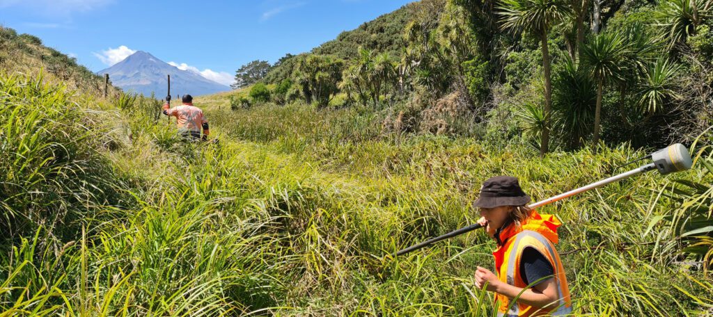
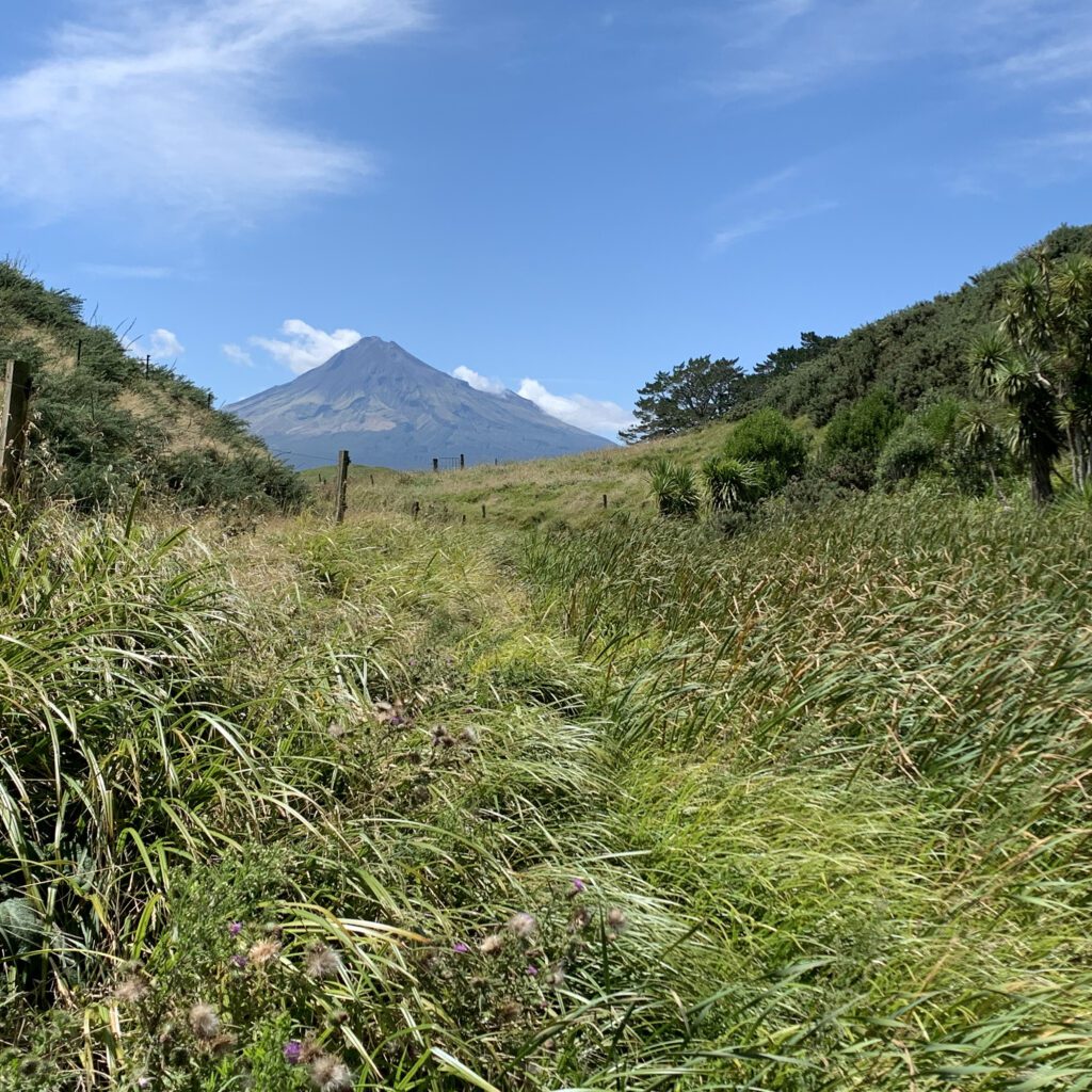
Wetland identification and delineation is one aspect. Often referred to as the kidneys of the earth, wetlands play a critical role in water quality, provide habitat for native and endangered fauna and flora, maintenance of water flows and supply, and reduce flood and storm surge risk. This has probably not been in the forefront of minds across Aotearoa as much as it has this past month with recent weather fronts causing heartache and headaches across the motu.
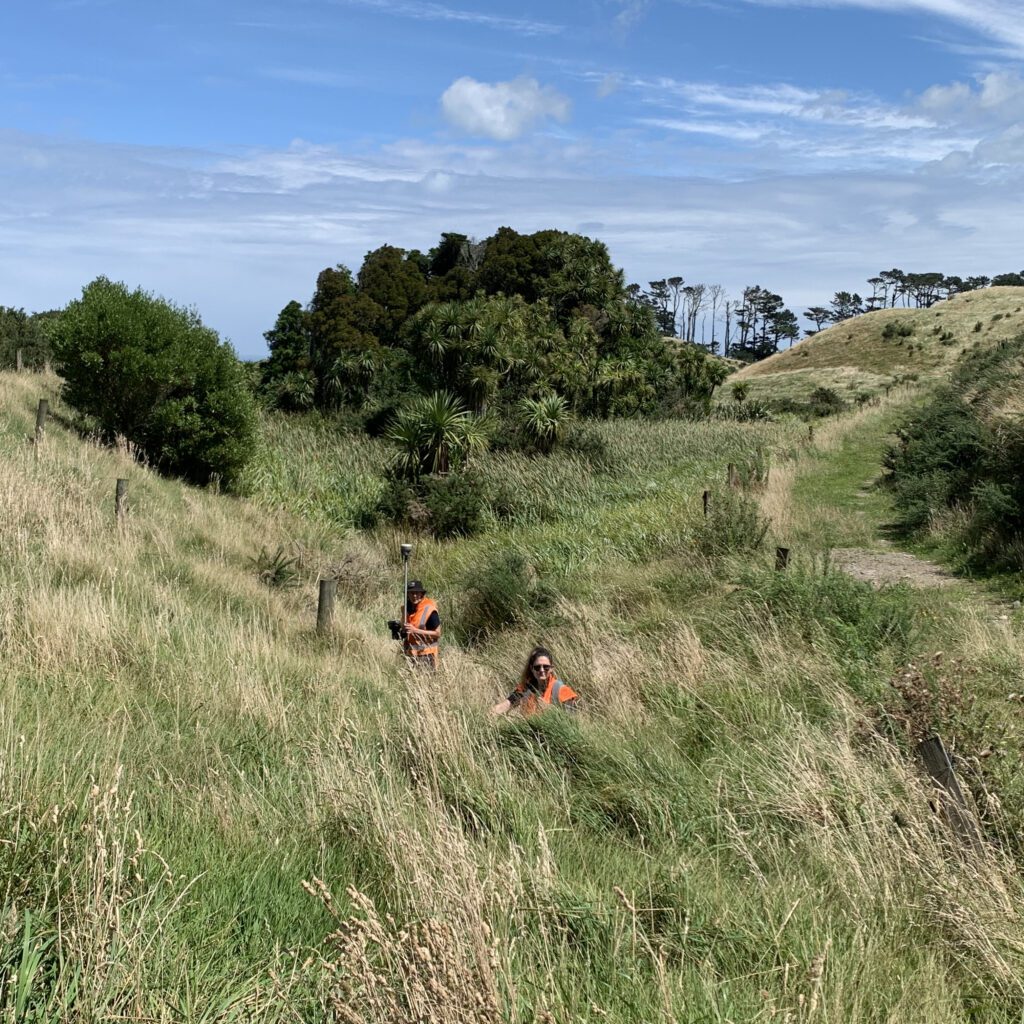
BTW uses a multi-faceted approach combining remote sensing (multi-spectral, LiDAR, and high-resolution aerial imagery) and ‘boots on the ground’ environmental assessments to identify, delineate, and monitor wetlands to ensure that these valuable ecosystems are protected and restoration is facilitated. Protecting the vegetation, soils, and hydrology of wetlands is a vital part of creating a better future.
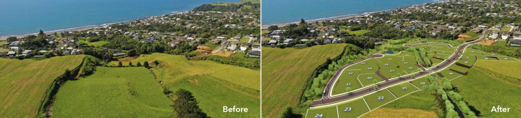
BTW’s qualified and experienced Environmental Engineers and Ecologists are also currently managing a land development project in Ōākura (from due diligence stage through co-design) for EB Developments in collaboration with mana whenua. The ‘Before and After’ image below shows that whilst providing space for new housing, this project is equally about protecting and improving existing land features, including a natural waterway. BTW’s work is focused on enhancing the ecological values for freshwater fish in the wider catchment and re-contouring of the stream banks to improve river values by restoring natural river function.
To find out more, speak with one of BTW’s WAI EYE team today.
Mathew Dickey on 0275 443 420
Dean Sandwell on 0273 784 529