KAITOHU WHENUA
Surveying
Providing clarity and confidence so you can maximise value and yields.
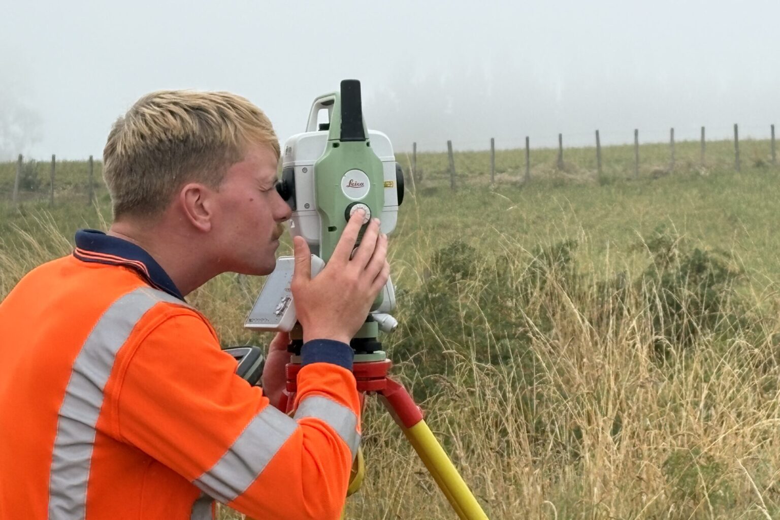
BTW’s surveying services help you get certainty on land, boundaries and buildability anywhere in Aotearoa. BTW’s team of experienced surveyors and licensed cadastral surveyors deliver Surveying Services nationwide. From boundary pegs to 3D laser scanning, we provide the clarity you need to plan, consent and build with confidence, backed by one integrated, multidisciplinary team.
Why choose this service
- Clarity and compliance: Survey deliverables prepared by a cadastral surveyor that meet legal, planning, consenting and construction requirements.
- One team, fewer delays: Surveyors working seamlessly with planners and engineers to keep your project on track.
- Smart capture: UAV, LiDAR and 3D laser scanning reduce site risk, improve accuracy, and speed decision-making.
- Nationwide with local insight: Proven experience across New Zealand regions, councils and iwi partnerships.
- Subdivision and Land Development
- Cross‑lease Amendments and Unit Titles
- Boundary Redefinition and Marking
- Engineering Surveying and Set‑out
- Asbuilt Surveys and Documentation
- UAV aerial survey and LiDAR Mapping
- 3D Laser Scanning and Building Information Modelling (BIM)
- Monitoring and Deformation Surveys
- Māori Land Plans, Easements and Access
Learn about our surveying services on their dedicated pages (See the menu above).
Discover our recent projects, and check out the FAQs below.


Surveying – Your questions answered
It’s the science of measuring and mapping land, assets and boundaries for legal, planning and construction purposes. BTW offers the full spectrum of surveying services, from boundary definition and subdivision to engineering set-out, UAV mapping and BIM-ready 3D scanning. Our work spans everything from residential and rural property to commercial developments, roading and civic infrastructure projects, and large-scale developments such as new renewable energy sites.
Timeframes vary depending on site size, terrain, access, and whether legal or council approvals are needed. A simple boundary redefinition may take a few days, while multi-lot subdivisions or scan-to-BIM projects typically take longer due to design and consenting steps. We provide clear timelines up front so you know what to expect.
Your project leads
Keith Preston – Technical Director – Survey and Spatial
Angina Lal – Surveying Team Leader, Hamilton
Kathryn Barrett – Surveying Team Leader, New Plymouth
Carwyn May – Surveying Team Leader, Taupō
Taryn Martin – Senior Licensed Cadastral Surveyor





Try these helpful links:
Survey and Spatial NZ
Property Council New Zealand
Cadastral Surveyors Licensing Board
Our services
Learn how our expertise can produce successful outcomes for your project